Lake Peten-Itza, Guatemala
Position:
16°57'N 89°51'W
Datemark:
February 2006
Mission:
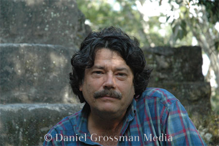
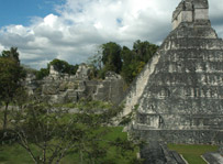
Interview paleoclimate (climate history) researchers drilling lake sediment and a Maya archeologist at the nearby Tikal ruins
Under Auspices of:
National Oceanic and Atmospheric Administration; National Science Foundation
Results:
Radio feature
SYPNOPSIS
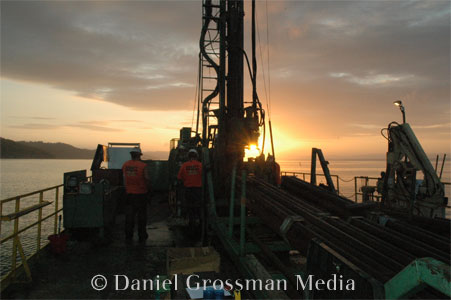
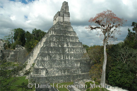
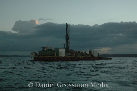
What’s brown and sticky and grey and sits at the bottom of a lake? Sediments. And some researchers will go to extreme lengths to sample sediment layers to discover a region’s history of drought and other climate attributes. I joined climate researchers from the University of Florida who were taking samples from the deepest lake in Central America. These scientists have learned that long, severe droughts occurred just as the Maya civilization of this region collapsed 11-hundred years ago. Some anthropologists are using these results to reexamine the longstanding mystery of what caused the great civilization to decline.
- Listen to howler monkeys recorded at the Tikal ruins
PHOTO GALLERY OF LAKE PETEN-ITZA AND TIKAL
- View Dan's Photographs of LAKE PETEN-ITZA AND TIKAL